Practical Drone Services for Modern Agriculture
Precision Field Services provides professional agricultural drone spraying, surveying and mapping services for farms, estates and land managers. We help clients access difficult ground, act within narrow weather windows and make better decisions through practical aerial solutions.
Why Precision Field Services
Clean, compliant and practical drone services built specifically for UK agriculture.
CAA Compliant Operations
Operations approved under CAA regulations with documented procedures and risk assessments.
Fully Insured
Cover in place for aerial operations, giving farms and estates confidence on every job.
Practical Agricultural Focus
Services designed around real farming constraints: soil, weather, access and time windows.
Fast Deployment
Responsive scheduling to work inside narrow spray or survey windows when conditions allow.
Regional Coverage
Serving farms and estates across Gloucestershire, Worcestershire, Herefordshire, Oxfordshire, Buckinghamshire, Berkshire and surrounding areas.
What We Do
Two core services focused on practical aerial support for UK farms and estates.
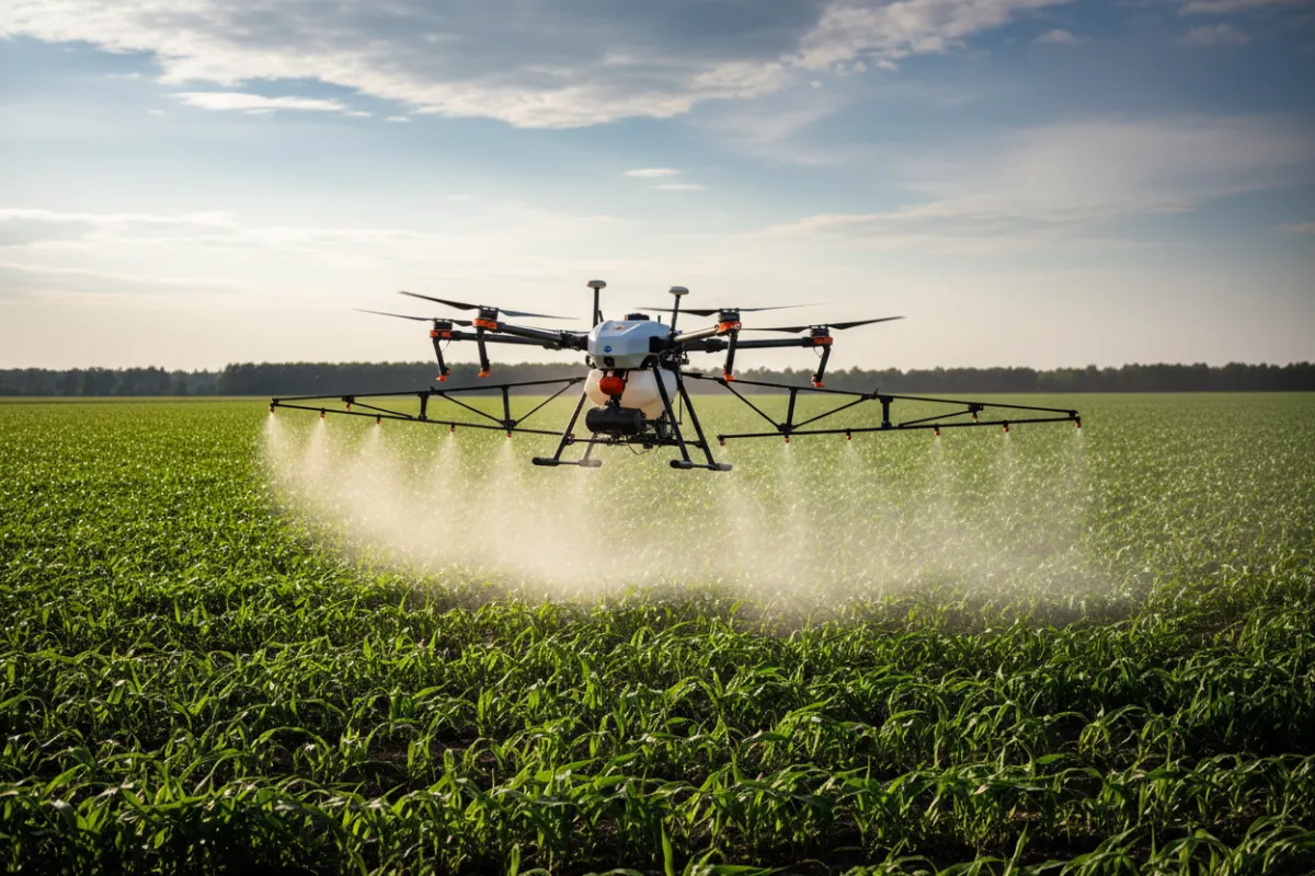
Crop Spraying
Targeted aerial application where access, timing or precision matters. Support for difficult ground, small windows and sensitive areas.
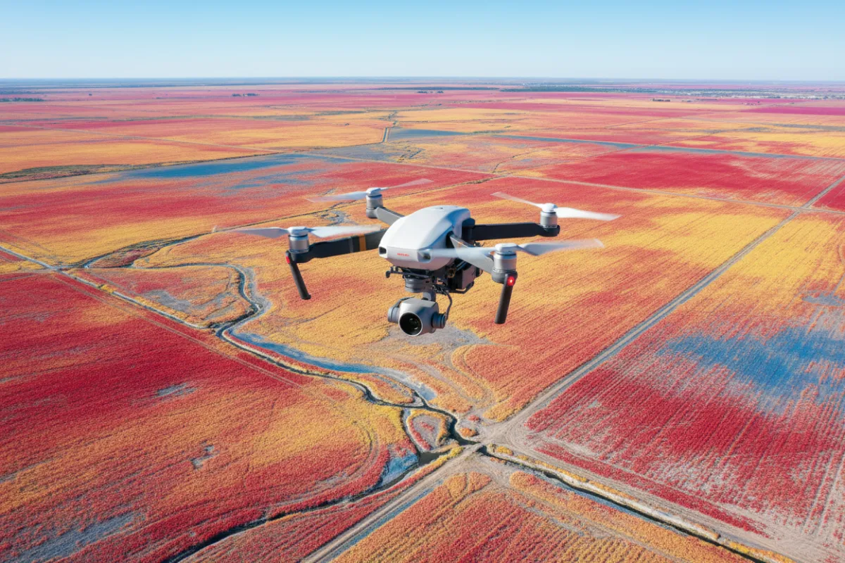
Surveying & Mapping
NDVI mapping, drainage assessment and crop intelligence to support agronomic decisions, compliance and operational planning.
How We Work
A simple four-step process from first conversation through to mapped outputs and reports.
1. Consultation
We discuss your fields, objectives, timing and any compliance or access constraints.
2. Planning
We prepare flight plans, permissions and safety documentation tailored to your site.
3. Field Operation
On-site drone spraying or surveying with continuous safety and quality checks.
4. Reporting
Delivery of maps, NDVI outputs, application reports or survey data in usable formats.
Need Help With Crop Spraying or Field Surveying?
Serving farms and estates across Gloucestershire, Worcestershire, Herefordshire, Oxfordshire, Buckinghamshire, Berkshire and surrounding agricultural regions. What is NDVI crop analysis? NDVI uses drone multispectral imagery to measure plant health by detecting green biomass and stress patterns. Can drone surveys identify drainage issues? Yes: surveys reveal water pooling, field contours and subsurface flow indicators to target drainage improvements. How accurate is field mapping? Accuracy ranges from centimetre to metre scale depending on sensors and ground control; we calibrate for high precision. What areas do you cover? We cover Gloucestershire, Worcestershire, Herefordshire, Oxfordshire, Buckinghamshire, Berkshire and nearby agricultural regions. How quickly can surveys be completed? Typical turnaround is 1–7 days from survey to report, depending on farm size and weather.
Precision Field Services
Practical aerial services for UK farming.
Legal & compliance:
CAA approved operations | Fully insured


© Precision Field Services. All rights reserved.